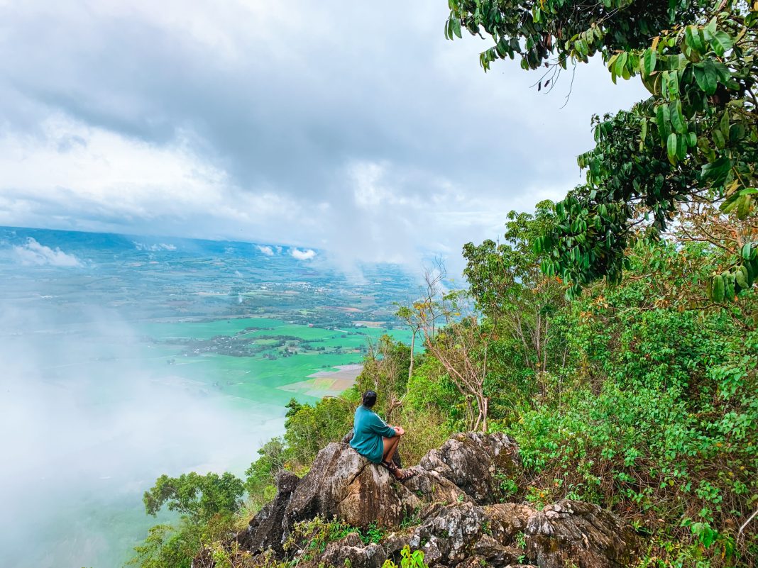
I used the easier trail in Sitio Capistrano when I hiked Mt. Capistrano. The usual route, which my guide told me was more difficult is Sitio Binalbagan. To avoid the same mistake, tell your motorcycle rider to take you to Sitio Binalbagan as you’re going to hike this mountain. However, if you don’t mind taking an easier, less crowded route to the top of this beautiful mountain then you’ll love the trail from Sitio Capistrano.
The trail from the houses in Sitio Capistrano begins on slippery slopes and stretches for about 100 meters before reaching a flat path leading to the trailhead. You’ll face a steep uphill climb to the first station at the trailhead, testing your leg strength. It’s worth mentioning that Mt. Capistrano has 14 stations used by the locals during the Lenten Holiday. If you’re familiar with this tradition, you’ll know that you’ll be passing these 14 stations, with the final one located at the top of the mountain.
The trail doesn’t get any easier after the first station, as the steep ascent will continue for another station or two. Your only refuge would be the beautiful transition of scenery. Pine trees will slowly replace huge tropical trees as you go higher. The view of the valley below will also start to emerge and the cold breeze will be your only companion during the challenging task. Once you get past the pine trees, you can rest a little, as there will be a flat path about 10-20 meters long.
After taking a relaxing walk, you will come across a resting house. It is usually empty, as farmers only use it during harvest and planting season. Past the house, there is another long ascent between corn fields. The trail is bare, so besides the corroded soil, you will also have to face the heat of the sun. However, a delightful room for a breather awaits at the far end of it.
This part of the hike consists of moderate slopes and is shaded, protecting us from the scalding sun. It extends for about 100 meters. The only concern I had about this part of the trail was the thick bushes. I’m afraid of highly venomous snakes, and Bukidnon is known for many sightings of the King Cobra, so I was cautious. I know Mt. Capistrano would be no exception because it’s such a rarely explored mountain.
As we neared the top of Mt. Capistrano, the trail became narrower. Thick bushes obscured the path, and it became unbearably steep as we ascended. Walking was more difficult as the trail became more slippery as the skies began to drizzle. I regretted not covering up for this hike as I got scratches all over my thighs and arms. After what felt like an eternity, I finally emerged at the foot of the final ascent to the peak. There, I was greeted by a wall of limestone karst that I couldn’t help but admire. The intricacy and detail of its formation were unfathomably pretty. I spent several minutes here trying to catch my breath.
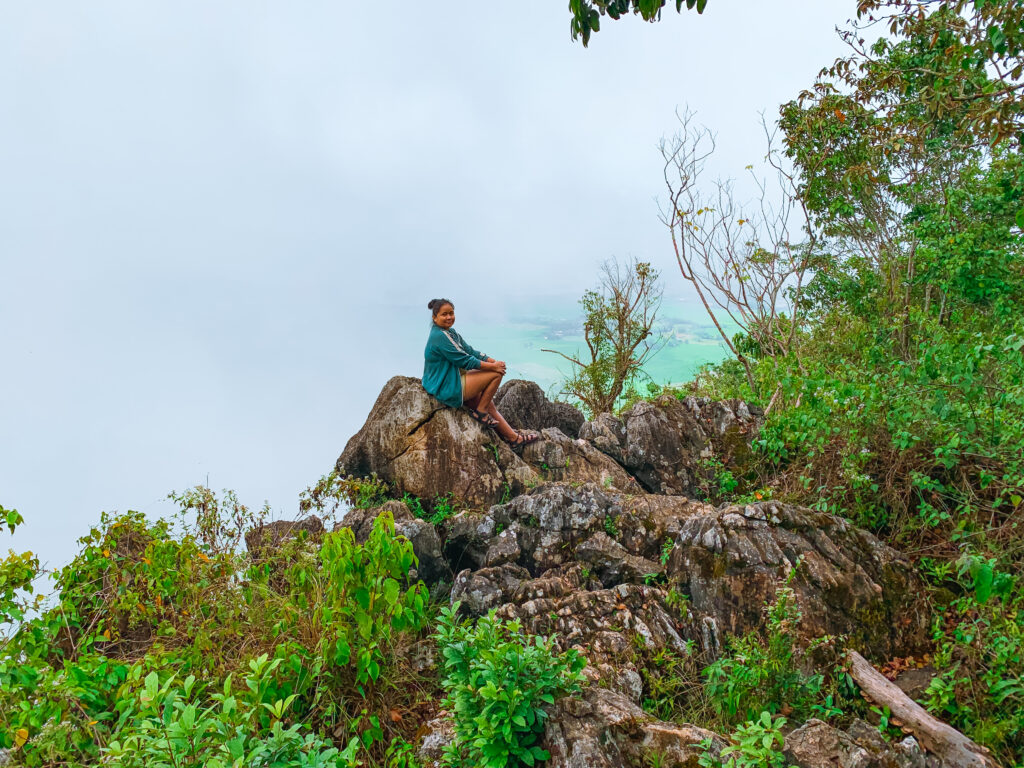
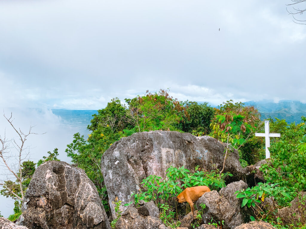
We started the final ascent after the drizzle finally stopped. The trail was more defined in this part, and we were walking on rocks rather than mud for the most part. It was still slippery but more bearable. Ten minutes had passed from when we started the final ascent, and we reached the very peak of Mt. Capistrano. Instead of a scenic view, fog engulfed the entire place. There was nothing in sight other than ghostly white clouds.


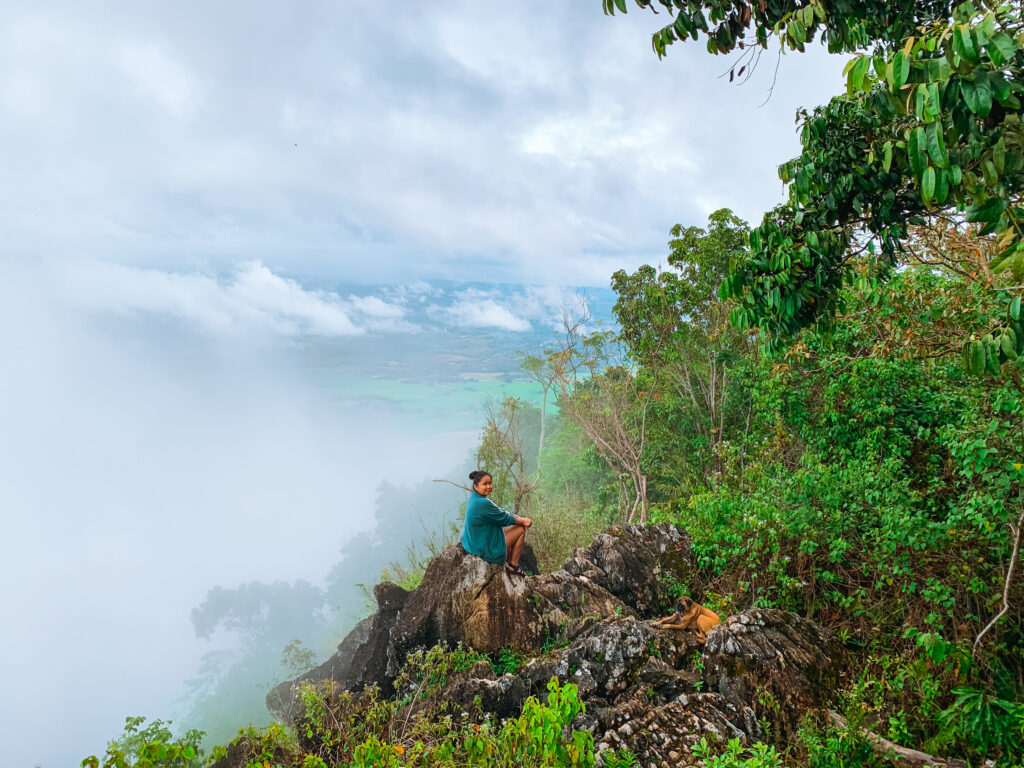
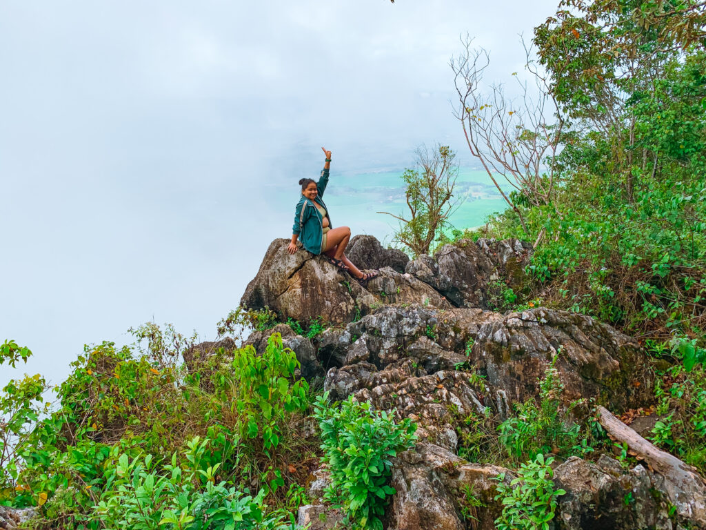
I waited at the top of Mt. Capistrano with my guide for almost an hour, hoping for a view. Whenever the clouds parted even a little, we tried to take photos, but the thick clouds didn’t clear. After waiting for a long time, we decided to head back down the same trail we came up. The descent was twice as challenging as the ascent. I skipped visiting the cave because I was already starving. Four hours on this beautiful mountain and I was already looking forward to a bath and a cup of coffee to fill my empty stomach.

