Two birds with one stone.
I’m always amazed at how summer vacation goes by so fast! With my days numbered, I felt a sense of urgency to climb one more mountain before heading back to Hays for the start of the school year next week (students start on Thursday 8/18). I’ve also been craving a cheesesteak sandwich, probably because of recent publicity regarding the return of the Pickle Barrel sign that was stolen 20 years ago. Wife’s permission granted, I set off for Bozeman late Friday afternoon. The plan was to consume a sandwich, drive to the Ross Pass Trailhead 20 miles north of Bozeman, sleep in my Outback, and then get up really early and climb Ross Peak (7 miles round-trip with 2,400 feet of elevation gain).
Below: Photo of the Bridger Mountains courtesy of Wikipedia.
Get this party started.
I arrived at the trailhead around 8 pm Friday evening, took a short walk to stretch my legs, then sat and visited a few cool younger folks who were there to work the Bridger Ridge Run the next morning. The arrival of a thunderstorm broke up our circle, and everyone retreated to their vehicles for the night. I woke up at 5:30 am, gulped down a caffeinated smoothie, and started hiking at 6 am.
Clear skies!
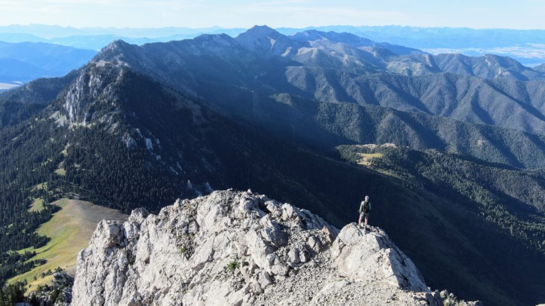
The first time I climbed Ross Peak was with five friends on Labor Day 2013. It was fun, but the air was muddied by smoke from wildfires, so we couldn’t see much beyond the Bridgers. This time the weather was perfect; sunny, calm, cool, and the air was very clear. It took me two hours to reach the summit (3.25 miles one-way) – an hour of that was spent negotiating the steep rocky final half mile. I followed a fairly discernable climbers’ trail that eliminated most of the route finding, but it was still challenging. If scree, scrambling, and exposure aren’t your thing, then you might want to take a pass on Ross Peak.
That did the trick.
I reached the summit at 8 am where I enjoyed an hour of perfect summit time with great views of the Bridger Mountains, the Gallatin Valley, and many distant mountain ranges. But don’t take my word for it – check out the photo tour (link below). I’ve also provided a link to the 2013 album, which includes several photos that show some of the sketchy parts of the climb. If you do the climb, I recommend using some sort of app that tracks your route. That track may come in handy as you make your way down. I scrambled down to Ross Pass and hiked back to the trailhead, finishing my adventure around 10:45 am, before it got hot . . . feeling a little more mentally prepared to start year #41 of my teaching
career.
Follow me on Instagram: rodbenson406
Below: This map marks hikes that have been featured on bigskywalker.com so far, including several in Glacier Park – Select full screen to expand, zoom in for more detail, or click on a marker for a link to the post.
.


